Drone Photography for New Developments in Johnston County NC
Drone Tours of Developing Neighborhoods - A Builder’s Secret Weapon
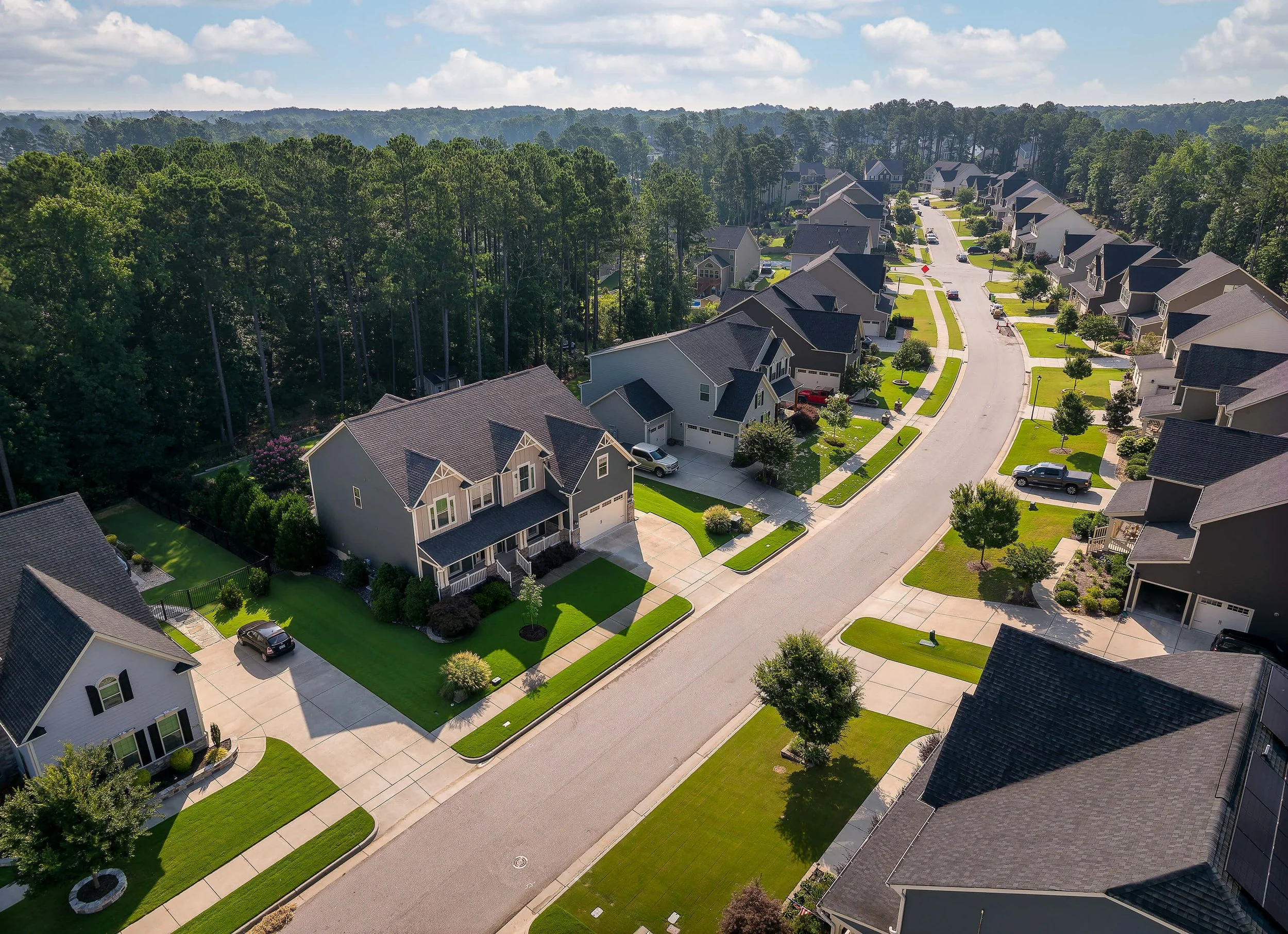
New construction neighborhoods often start with dirt roads, a single model home, and a long-term vision. Ground-level photos can only do so much. That’s why drone photography has become essential for builders and Realtors across Johnston County.
Drone tours provide the bigger picture buyers crave — especially in communities still under development.
Why Drone Photography Works So Well
1. Community Layout Made Clear
Aerial imagery shows how early-phase homes relate to future streets, cul-de-sacs, or green spaces. It helps buyers see the full potential before construction is complete.
2. Progress Tracking for Builders
Drone stills and video document construction phases, offering a powerful marketing and project-management tool.
3. Location Context Buyers Want
Highlight proximity to schools, shopping, greenways, hospitals, and major highways. This is vital for relocation buyers who rarely visit in person before making decisions.
4. Vision + Imagination
A wide drone pan shows lifestyle possibilities, future growth, and the feel of the finished neighborhood — something standard photography can’t convey.
Why This Matters in Johnston County
Inventory in new developments continues to rise, and many homes are surrounded by active construction. Drone photography helps your listing stand out with:
A clear neighborhood overview
A sense of scale and land
Visual differentiation from competing listings
The ability to pre-sell future phases before completion
Goodlook’s FAA-certified drone photographers capture high-resolution stills designed for MLS, brochures, builder websites, and social media.
FAQs – Drone Photography for Developments
Can you do drone stills of entire neighborhoods?
Yes. We capture full subdivision overviews with high-resolution stills ideal for MLS, brochures, and builder marketing.
Are you FAA certified?
Yes. Our drone pilots are fully licensed and follow all FAA regulations, including safe operation near active construction.
Can I use aerial photos for builder marketing materials?
Absolutely. We provide files with broad usage rights for websites, signage, printed materials, and advertising.
Is it safe to fly near active construction sites?
Yes. We coordinate with crews and follow all required safety standards.
How fast can I get drone photos?
Delivery is typically 24–48 hours after your scheduled shoot.
Do you shoot empty lots or phases not yet built?
Yes. Drone photography is ideal for pre-marketing undeveloped land, upcoming phases, and builder planning.